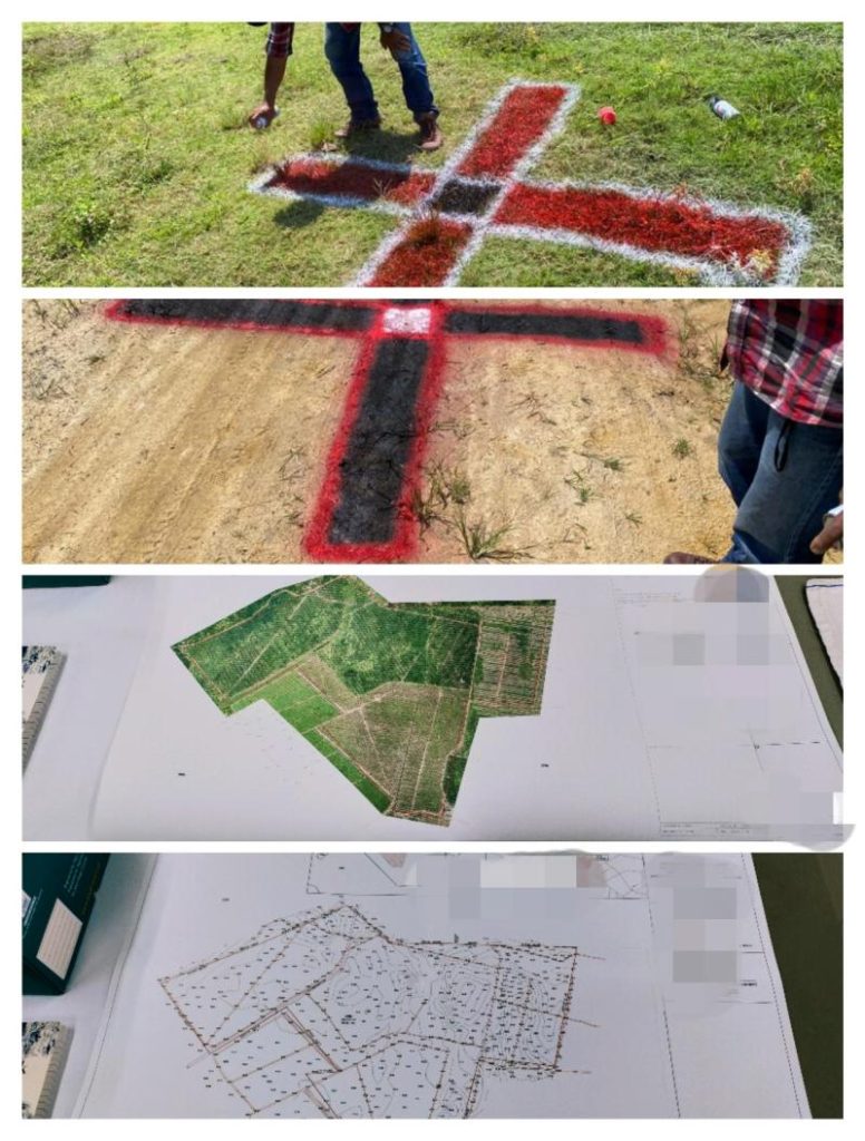
Mapping
Survey and 3D Mapping

Drone mapping is becoming increasingly popular in industries such as agriculture, construction, and mining, where accurate and up-to-date information about an area can make a big difference in decision-making. For example, drone mapping can be used in agriculture to monitor crop health and growth, identify areas that require irrigation or fertilizer, and detect pests and diseases.
Drone mapping can also be used in construction to create topographic surveys, monitor construction progress, and ensure that the project is on schedule and on budget. In mining, drone mapping can help to identify mineral deposits, plan mining operations, and monitor the progress of reclamation efforts.
Overall, drone mapping is a powerful tool that can provide detailed and accurate information about an area in a way that is not possible with traditional surveying methods. As technology continues to advance, the applications for drone mapping are likely to grow and become even more sophisticated.
We Help you
Embarace the Future
VStream Revolution is a one-stop solution for everything drone-related. With a focus on providing high-quality and innovative services, we offer a range of offerings to meet the needs of drone enthusiasts, professionals, and businesses. Whether you are looking for drone insurance, drone consultancy, training, and workshops, or the latest drone sales, VStream Revolution has got you covered.
DISCOVER